Service

Geophysical survey & subsurface imaging

Non-intrusive subsurface imaging that fills the ground between boreholes — resistivity, seismic and radar methods selected for the site and integrated into the geotechnical investigation.

Overview

Boreholes give certainty at a point. Geophysics gives continuity between those points, which is what allows a consultant to interpolate ground conditions across a site with confidence instead of assumption. Used together, the two methods cost less and reveal more than either does alone.

Geophysical survey is delivered through Horema's network of specialist geophysicists. Methods are selected and applied according to site conditions and project requirements, with Horema coordinating survey design, field execution and integration of results into the ground investigation.

That integration is the point of the service. A resistivity section or a seismic velocity profile is of limited value in isolation; calibrated against borehole logs and laboratory results, it becomes a continuous model of the ground that the design team can actually use.

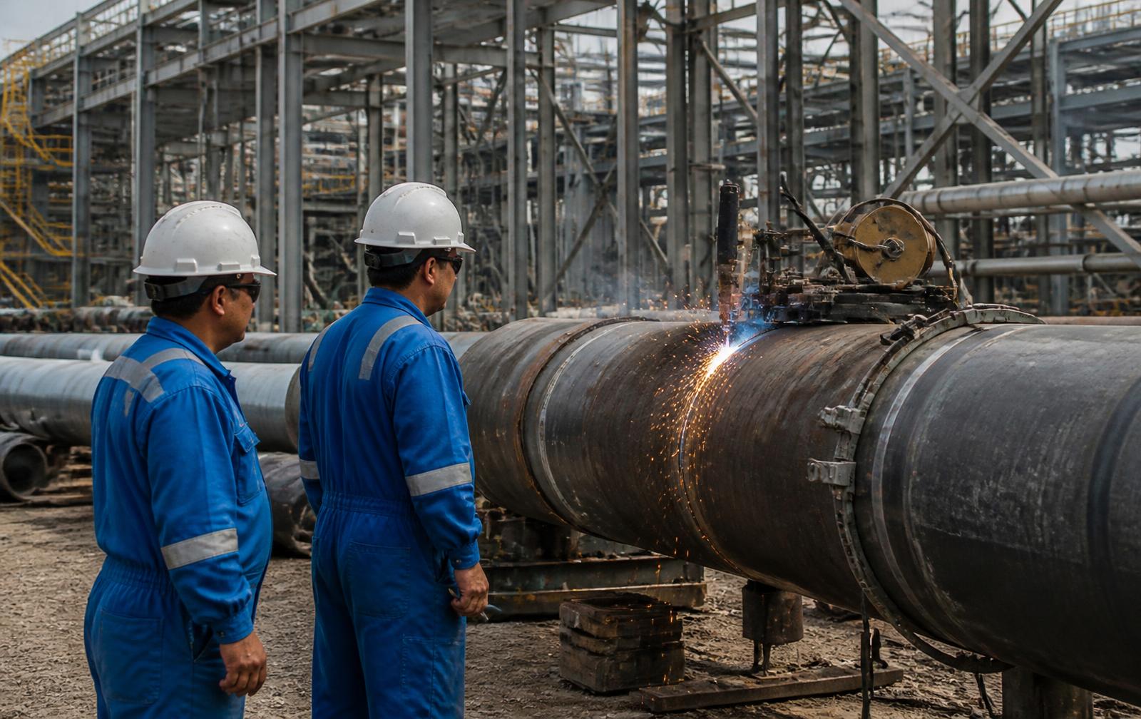
Subsurface imaging and geophysical survey supporting ground investigation on an Egyptian project site

Methods & standards

Test methods and the standards they follow

Electrical Resistivity Tomography (ERT)

ASTM D6431 · 2D and 3D inversion

Continuous resistivity sections mapping lithological boundaries, cavities and karstic features, made ground, and the fresh/saline groundwater interface that governs durability design on coastal sites.

Seismic refraction

ASTM D5777

P-wave velocity layering used to define depth to bedrock or competent ground and to assess rippability and excavatability ahead of earthworks and cut design.

MASW — Multichannel Analysis of Surface Waves

Shear wave velocity profiling · Vs30

Shear wave velocity profiles giving small-strain stiffness and the Vs30 value used for seismic site classification under the Egyptian Code and international equivalents.

Ground Penetrating Radar (GPR)

ASTM D6432

High-resolution shallow imaging for utility detection, pavement layer thickness, reinforcement location, voids and near-surface anomalies before excavation or coring.

Downhole & crosshole seismic

ASTM D7400 · ASTM D4428

Direct in-borehole measurement of compression and shear wave velocities where dynamic soil properties are required for machine foundations or detailed seismic analysis.

Electrical resistivity for earthing

ASTM G57 (Wenner array)

Soil resistivity profiling supporting earthing system design and buried-metal corrosion assessment across industrial, airport and utility infrastructure.

Borehole calibration & integration

Joint interpretation with intrusive data

Geophysical sections tied to borehole logs and laboratory results so that velocity and resistivity contrasts are interpreted as real stratigraphic boundaries rather than modelling artefacts.


Where it applies

Typical applications

  • Large-area and corridor screening ahead of borehole layout
  • Depth to bedrock and rippability assessment for earthworks
  • Karst, cavity and void detection on limestone sites
  • Seismic site classification through Vs30 determination
  • Utility detection and pavement assessment before excavation
  • Saline intrusion mapping on coastal developments

What you receive

Deliverables

  • Survey line and array layout plan referenced to site coordinates
  • Processed 2D and 3D resistivity sections
  • Seismic velocity models with interpreted layer boundaries
  • Shear wave velocity profiles and Vs30 values for site classification
  • Anomaly and target register with locations and confidence notes
  • Integrated interpretation tied to borehole and laboratory data

Common questions

What engineers ask us about geophysical & subsurface imaging

When should geophysics be used instead of more boreholes?

Geophysics is most valuable where the ground varies between boreholes or where the site is too large to characterise economically by drilling alone — corridors, masterplans, karstic limestone and reclamation areas. It does not replace boreholes: intrusive data is still required to calibrate the geophysical model and to obtain samples. The efficient scope usually pairs a reduced borehole grid with continuous geophysical coverage between them.

Which geophysical method detects cavities and karst?

Electrical resistivity tomography is the primary method for mapping cavities, karstic features and dissolution zones, because air- or clay-filled voids contrast strongly with intact limestone. Microgravity and GPR can supplement it depending on depth and target size, and the method mix is selected against the specific site conditions.

What is MASW used for?

MASW measures shear wave velocity with depth, giving small-strain stiffness and the Vs30 value used to assign a seismic site class under the Egyptian Code ECP 201 and international codes. It is non-intrusive and well suited to sites where seismic design parameters are needed without deep borehole geophysics.

Who carries out the geophysical work?

Survey is delivered through Horema's network of specialist geophysicists, with methods selected and applied according to site conditions and project requirements. Horema coordinates the survey design, the field execution and the integration of results into the wider ground investigation.

Where we have done it

Related project experience

Need geophysical & subsurface imaging on your site?

Send us the site location, the structures planned and your programme — our team will scope the investigation and testing required.

Request a scope